Menu
 |
 |
 |
 |
 |
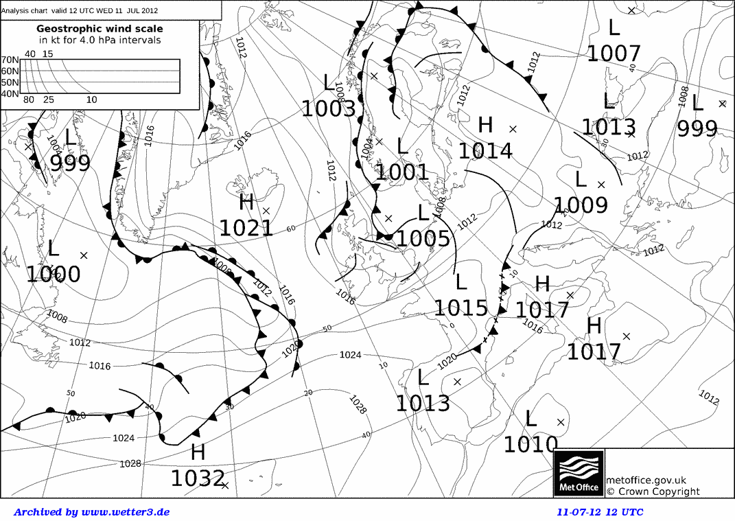
Forecasts indicated a southeastward-moving trough organising into a line of convection NE of Chilbolton by the early afternoon, so scanning focused on this sector. In the early morning showers originate over Devon and Somerset, travelling eastward and by late afternoon these have organised in a line stretched along the South coast. Scans in the early afternoon focus on the sector south of Chilbolton. Towards the evening, a line of thunderstorms had organised from south Wales to Surrey, and scans were focused on these mainly NE of Chilbolton.
See the UKV forecasts starting with the 3Z forecast from the previous day and ending with the 15Z forecast on the current day.
See the 3Z forecasts from the UKV-4km-NAE runs.
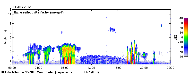
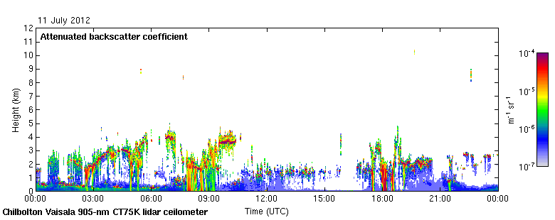
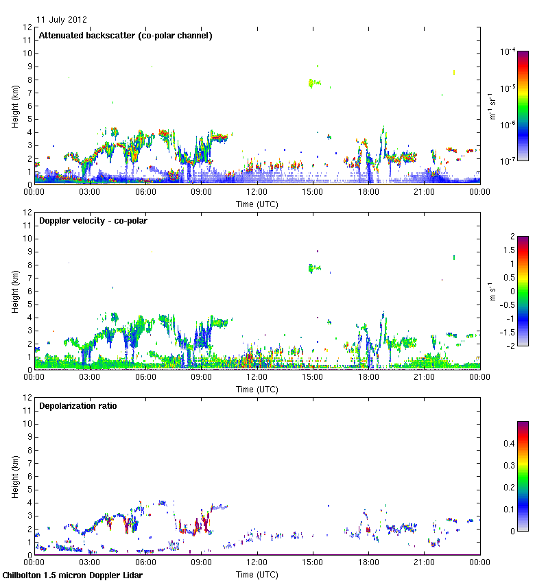
See the Chilbolton scans (radar reflectivity, radial velocity, Nimrod rainfall).
See the 3D Volumes (5Z and 20Z isosurfaces from merged Chilbolton PPI scans).
See the Vertical velocities (Derived from sets of four Chilbolton RHI scans following Hogan et al. 2008). And Quantile Reflectivity Profiles for different surface reflectivity ranges (model and obs).
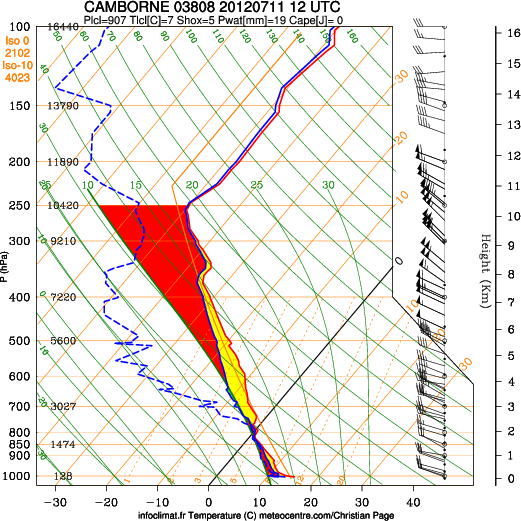
Tephigrams produced by http://meteocentre.com/.
Red curve: Temperature.
Solid Blue curve: Wet-bulb temperature.
Dashed Blue curve: Dewpoint temperature.
Dashed Magenta curve: trajectory of parcel associated with the CAPE.
Beige curve: US Standard Atmosphere.